

Field guide
Wednesday, September 16, 2026
Struble Trail
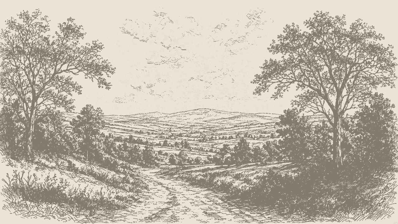
I do not need hills every day. Some midweeks I just want pavement, shade, and the East Branch talking next to me.
I do not need hills every day. Some midweeks I just want pavement, shade, and the East Branch of the Brandywine talking next to me. That is Struble Trail. If you live anywhere near Downingtown or Uwchlan and you have not done it yet, this is the one I send friends to first.
What it is
Struble is a county-managed rail-trail. About 2.6 miles of paved path are open right now, running west from the edge of Downingtown Borough along the East Branch of Brandywine Creek. You are on the old rail bed of what started as the East Brandywine Railroad and later ran as the Pennsylvania Railroad’s New Holland Branch (locals still call the corridor the Waynesburg line). Flat. Low drama. Built for bikes, runners, walkers, strollers, and inline skates.
Round trip is roughly 5.2 miles if you go end to end and turn around. Plenty of shade, picnic spots, and rest stops. It is free. Chester County Parks + Preservation runs it.
The trail is named for Robert G. “Bob” Struble. Teacher. Brandywine Valley Association guy. Later a county commissioner. He helped push the idea of putting a hiking and biking path over a sewer line that followed this abandoned rail bed out of Marsh Creek. In 1979 they dedicated it as the Robert G. Struble Hiking and Biking Trail. So yes, the name is the real guy.
Where / how to get there
Official trailheads (per county planning docs) land at three places:
- Kardon Park side of Downingtown (connects via the Lions Trail into the borough park system)
- Norwood Road north of downtown Downingtown in East Caln (common lot near the Route 30 overpass; folks often use ~191 Norwood Rd as a pin)
- Dorlan Mill Road in Uwchlan, south of Marsh Creek State Park (north end of the open paved stretch)
There is also access near Dowlin Forge / Shelmire mid-trail, handy if you want the ADA mile or the delayed-harvest fishing stretch without starting in town.
Hours for Struble (and the other county regional trails): open half an hour before sunrise, close half an hour after sunset. Check chesco.org if weather or maintenance flips a gate.
What you’ll find
The ride / walk itself. Pavement the whole way on the open section. A few gentle undulations, nothing that will wreck a casual rider. You cross Dowlin Forge Road once. That is about it for traffic drama. Woods and creek most of the way. On a quiet Tuesday you get deer. On a Saturday you get everyone and their dog. Both versions are fine.
ADA stretch. One mile from the Dorlan Mill Road trailhead south to Dowlin Forge Road is the county’s called-out ADA accessibility segment. Smooth, step-friendly, good for chairs and strollers.
Fishing. The path runs beside nearly three miles of East Branch water. The special one is the Delayed Harvest trout zone: about 0.9 miles of creek between the Dorlan Mill and Dowlin Forge bridges. Artificial lure only. Stocked with brook and brown trout. PA Fish and Boat Commission rules, valid PA fishing license required, and the season runs longer than regular trout season. Access right off the trail. If you are new to delayed-harvest water, read the regs before you wet a line. Catch-and-release vibes, not a free-for-all.
Connections. This is where Struble punches above its mileage.
- Lions Trail / Downingtown–Kardon for borough park loops
- Uwchlan Trail peels off around the 1¾-mile mark toward Dowlin Forge and Shamona Creek Parks, plus neighborhood links (Uwchlan Woods, Williamsburg)
- North end sits close enough to Marsh Creek State Park that ambitious folks stitch a bigger day (road connector, not a seamless paved handoff yet)
Side quests. Just north of the trail at the Dowlin Forge Road crossing, the stabilized ruins of Dowlin Forge (19th-century iron forge / mill complex) sit under Uwchlan Township Historical Commission care. There is also a Born Learning Trail stretch with signs and prompts for little kids, part of a United Way Chester County early-learning project. Useful if you are out with a toddler who needs jobs to do.
Practical tips
- Surface: asphalt. Fine in sneakers. Bike tires of almost any kind work. Skateboards are *not* on the county’s permitted list for regional trails. Horses neither (paved Struble is off-limits to equestrians; county keeps horses on unpaved corridors like parts of the Schuylkill River Trail).
- Dogs: yes, on a leash no longer than 6 feet. Bring water. Tick check after.
- Kids / strollers: this is one of the easiest “everyone can go” trails in the valley. Pack snacks. Use the picnic tables.
- Crowds: weekends fill the Downingtown end. If you want quiet, hit Dorlan Mill early on a weekday.
- What not to do: no swimming in county park/trail water, no drones, no motorized toys. Alcohol is a no in county parks. Feed the wildlife and you become that person. Don’t.
- Before you go: [County Struble page](https://www.chesco.org/4645/Struble-Trail) for the map and fishing notes. Parks desk: 610-344-5656.
Personal close
I treat Struble like a reset button. No summit story. No epic suffering. Just creek noise, a flat mile that forgives my midweek legs, and the weird comfort of knowing Bob Struble basically argued a sewer line into a public trail. That is peak Chester County energy. Go once for the pavement. Stay for the trout water and the forge ruins. Then tell me you still need a harder trail.