

Deep cut
Wednesday, September 16, 2026
Willistown Nike Site
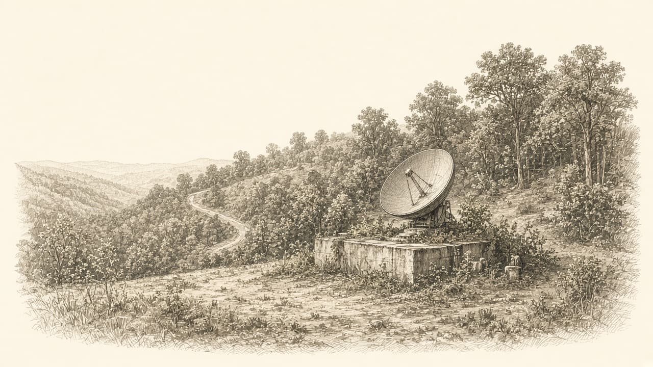
Cold War command and radar land on Delchester Road is now Willistown parkland forever.
Here is the why-care before the parkland pitch.
For more than a decade in the Cold War, a quiet patch of Delchester Road was not quiet at all. It was the brains of a Nike missile battery. Radar. Command. The people and gear that would have aimed anti-aircraft missiles if Soviet bombers ever came for Philadelphia. The launchers sat a short drive away in neighboring Edgmont Township. The control pad lived on our side of the line, in Willistown.
That is not a metaphor. That is literal suburbia-as-air-defense. And as of late August 2026, those twelve acres are township parkland forever.
What Nike was (and why it landed here)
Nike was the U.S. Army's big Cold War answer to the bomber threat. Think surface-to-air guided missiles ringing major cities and industrial corridors. A typical Nike site came in two pieces that had to talk to each other:
1. Integrated Fire Control (IFC): acquisition and tracking radar, computers, the command post. Find the plane. Guide the missile.
2. Launcher area: underground magazines, elevators, rails, the actual missiles waiting on alert.
You needed clear sky for the radars and explosive-safety room for the launchers, so the Army split the parcels. One neighborhood got the towers. Another got the bunkers. People driving past on a Tuesday had no idea how close the whole system sat to school pickup and farm fields.
Around Philadelphia, that meant a "defense area" ring of Nike batteries thrown up in the mid-1950s to protect the Delaware Valley's ports, industry, and population. Secondary military inventories usually tag the Media / Edgmont complex as PH-75 (sometimes PH-75/78), active from about 1955 into 1968. First-generation Nike Ajax, then an upgrade path to longer-range, nuclear-capable Nike Hercules at some Philadelphia-area sites. When the strategic threat shifted from manned bombers to ballistic missiles, the Nike network lost its job. Batteries shut down. Fences stayed. Memory got fuzzy.
I am not inventing war-room drama for this one parcel. Willistown's own release keeps it clean: the Delchester property was the command and radar control area for the missile launch site next door in Edgmont. The scary hardware lived across the township line. The aiming lived here.
(Note on spelling: Delaware County's township is Edgmont. Willistown's August release writes "Edgemont." Same place on the map.)
How it became parkland
August 26, 2026, Willistown Township announced it had acquired the 12-acre historic Nike Site through the National Park Service Federal Lands to Parks program. Location: along Delchester Road, straight across from the Okehocking Preserve parking area. Use: township parkland and open space. Forever language is in the release. A public park in perpetuity.
Federal Lands to Parks is the surplus-property lane that helps towns turn leftover federal land into local parks instead of mystery parcels. Willistown says this handoff is the third property in Chester County transferred to a local government through that program. Staff and volunteers had been chasing the acquisition since the 1990s. Supervisor Bill Shoemaker's quote basically reads like a long exhale after decades of paperwork.
Thanks in the release go to NPS, the General Services Administration, and U.S. Rep. Chrissy Houlahan's office. Cold War surplus does not become a picnic loop by accident. It takes lawyers, patience, and a township that refuses to let a radar pad rot into someone else's problem.
What you'll see when trails open
Not yet a finished trail system. The township says it looks forward to establishing trails and adding historical signage so residents and visitors can walk the story. Across the road you already have Okehocking Preserve. The geography is almost comic: Lenape-named preserve parking on one shoulder, Nike command acres on the other. That is Willistown in one frame. Open space with a plot twist.
Until the trails and signs are live, treat this as a history pin, not a "show up Saturday with the dogs" invitation. Watch township notices for opening details. When it does open, the value is the dual read: woods path plus "this radar pad once aimed missiles for Philly."
I care about the signage almost as much as the trail tread. Without the plaque, it is just another nice twelve acres. With the plaque, your kid asks why there were missiles in Malvern-adjacent woods, and you get to say the true thing: because this region mattered enough to defend.
Personal close
I grew up thinking Cold War defense lived in grainy filmstrips and faraway bases. Turns out some of it lived on Delchester, across from a preserve lot I have used for ordinary weekend walks. Twelve acres. Decades of chase. Now it is ours to keep green and labeled.
Parkland is the ending. The punchline is that the valley's softest open space sometimes started as the hardest kind of infrastructure. Go when the trails open. Read the signs. Then look at the sky and remember somebody once watched it for a living.